Midjourney 8.2 卫星视角:极致细节的孤立岛屿地貌解析
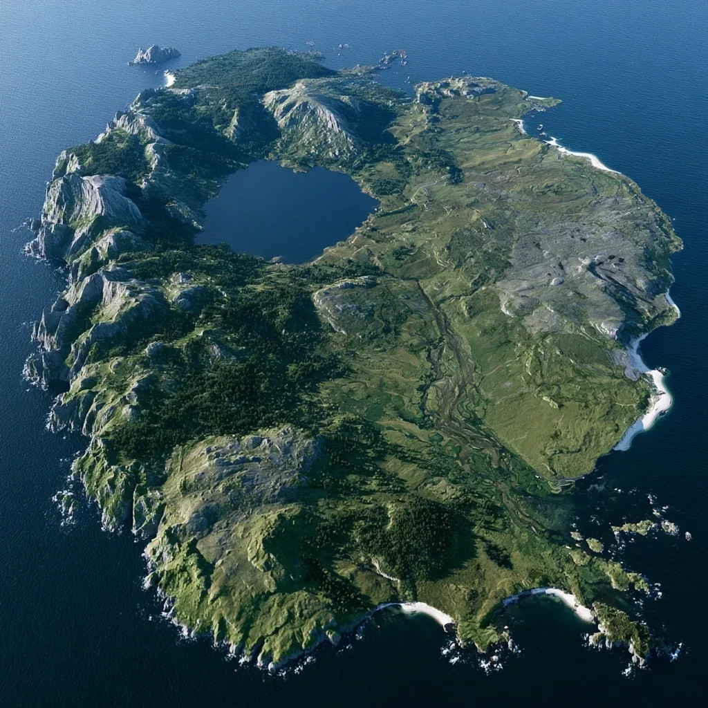
这幅Midjourney作品是卫星视角的岛屿,细节丰富得令人惊叹。原提示词对地形地貌的描述细致入微,成功塑造了一个极具真实感的地理模型。这种将自然地理学知识融入AI创作的方式,对于理解复杂场景的构建很有启发性。
**提示词拆解** - 主体:多样地貌的孤立岛屿 - 视角:超真实卫星俯瞰 - 细节:地质与植被的精细分区 - 风格:摄影级真实感
**原始提示词** > Ultra realistic top down satellite view of a large isolated island, ~3,000 km². A deep freshwater lake in the northwest interior, fully landlocked, no ocean connection, fed by rivers from surrounding highlands. Extreme terrain variety: jagged rocky mountains, rounded lower mountains, gray stone plateaus, steep escarpments, ravines, green valleys, dense old growth forest, sparse pine and deciduous woodland, grassy moorlands, heath, fertile plains, meadows, wetlands, peat bogs, braided river floodplains, rocky badlands, gravelly uplands, sea cliffs, rocky headlands, white and dark sand beaches, coves, coastal dunes, offshore rocks and islets. Mountains and wet forests dominate the north and northwest; rugged highlands along the west; fertile valleys and rolling grasslands in the center and southeast; marshy lowlands near river basins; windswept exposed coastal terrain. Realistic erosion, watersheds, river deltas, tributaries, geological diversity, vegetation transitions. Temperate oceanic climate similar to Wales and western Scotland. No settlements, roads, buildings, or labels. Photorealistic satellite photography.
模型:MJ 8.2 比例:1:1 作品出处:Midjourney社区 @enjpame([原帖](https://www.midjourney.com/jobs/db8638fc-5c0f-4c60-8f96-bfe6f7b99735)),版权归原作者所有。